Travel was dangerous, though trade could be profitable in the Middle Ages. Language was provincial, speaking in gestures and pointing was part of a traveler’s parley. The changing scope of Eleanor’s world enlarged as she traveled the world. Maps evolve as well. Maps of her time are shown here.
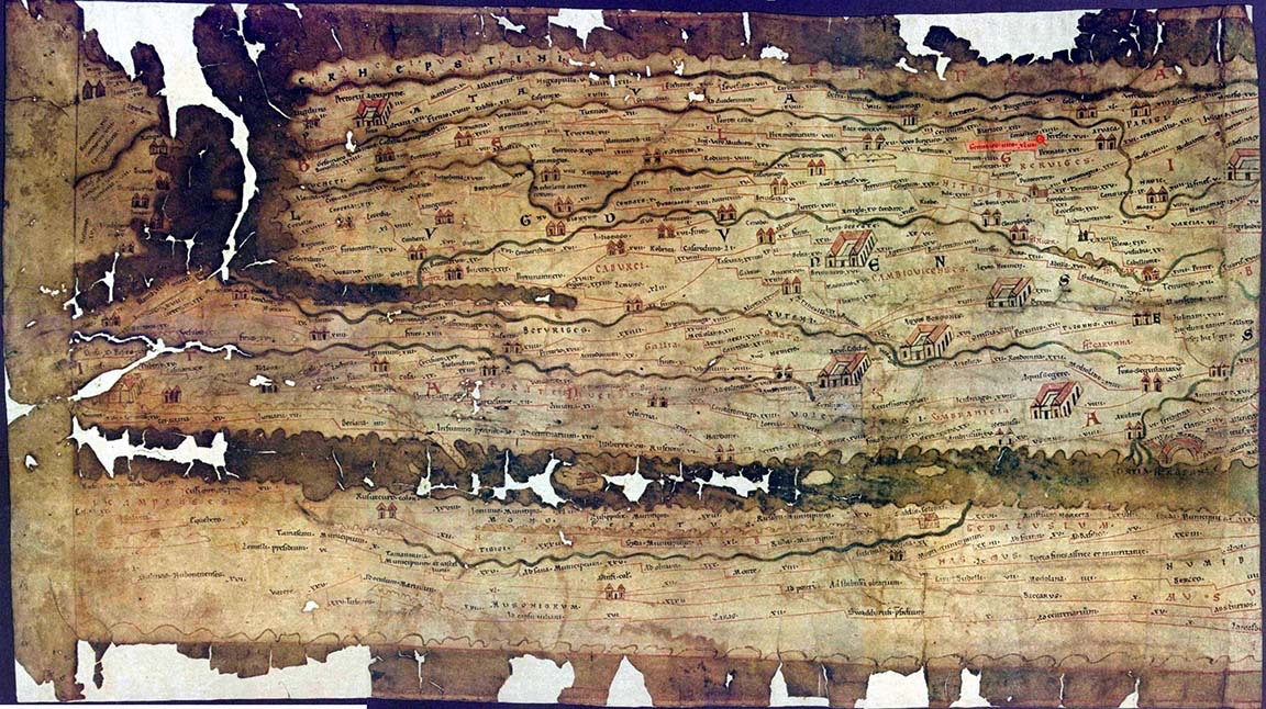
Peutinger
BY LAND - Based on Roman marching maps, the Peutinger map is a land map, compressing the Mediterranean Sea to what looks like a river. The 13th century Peutinger Map was drawn in Colmar based on the Roman cursus publicus 400 AD.
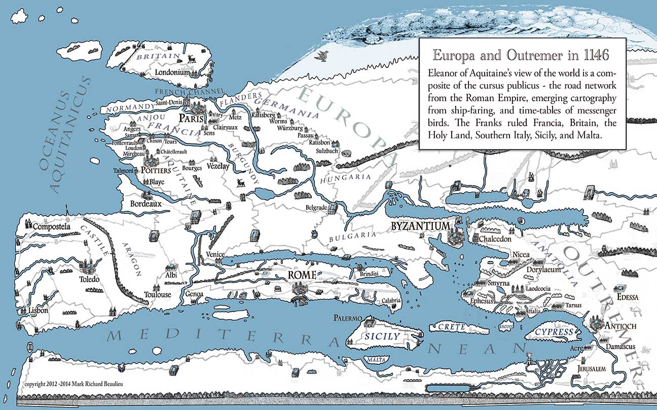
Peutinger Condensed
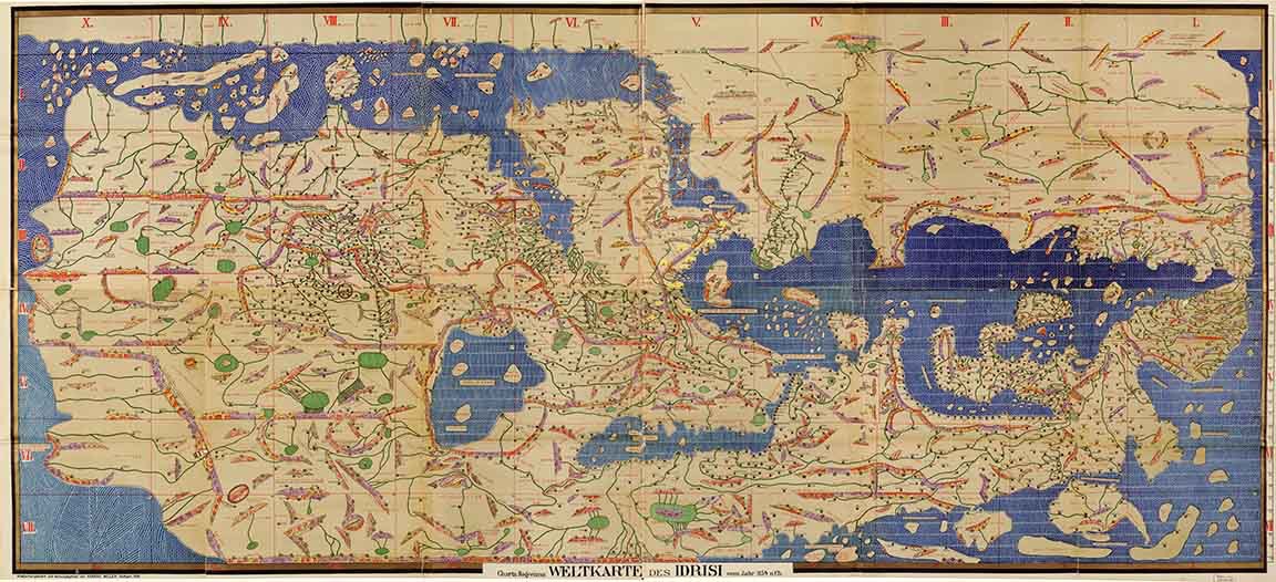
Tabula Rogeria
BY SEA - Arabic sea and trade depended on a better depiction of the world. It was drawn upside down to confuse others and is labeled in phonetic Arabic.
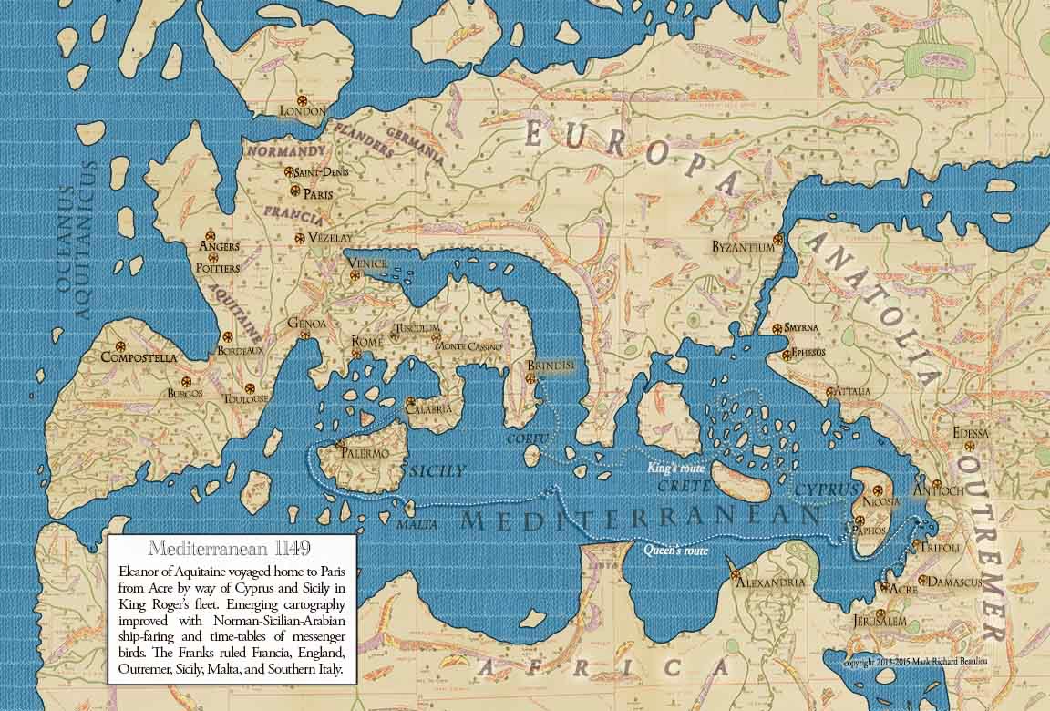
Rogeria Updated
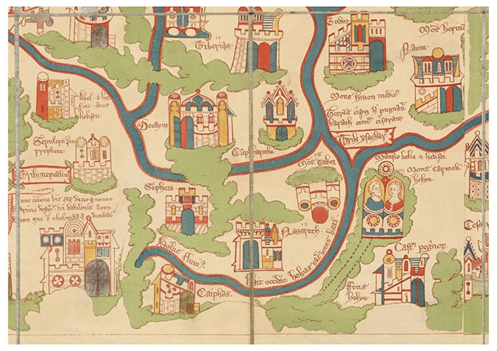
Wey
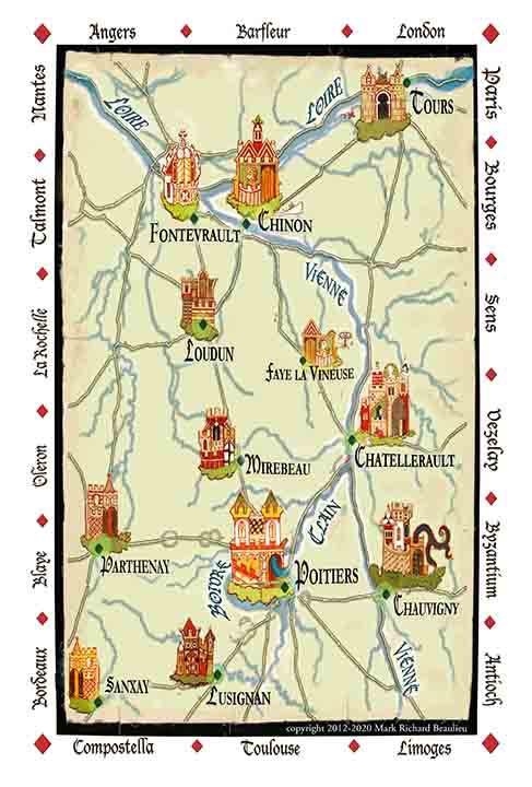
LOCAL - Wey’s foldable pilgrim map noted the sites. This surviving map is dated later, however similar maps would have been drawn for Eleanor’s expedition.
Travel Animations Extract Animations from HNS talk